 |
Wasdale Head - Easter 2018 SCAFELL PIKE Thursday 29 March |
|
| Scafell Pike Ascent Summit Descent Evening Features Read Me |
Scafell Pike
Thursday, 29th March, turned out to be a nice day. The Weather Gods have not been known to take account of social considerations, and could turn aggressive on subsequent days. The other four of our early birds decided to go up the Black Sail Pass to Kirk Fell, probably in the knowledge that they had been up Scafell Pike before. However, I wanted to make sure that, having ascended Scotland's and Wales's highest mountains, I should also pay my respect to England's contribution to the league of the UK's highest peaks. The weather, as mentioned, might not be so favourable on subsequent days. It was a case of "CARPE DIEM".
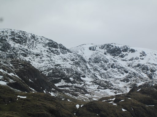
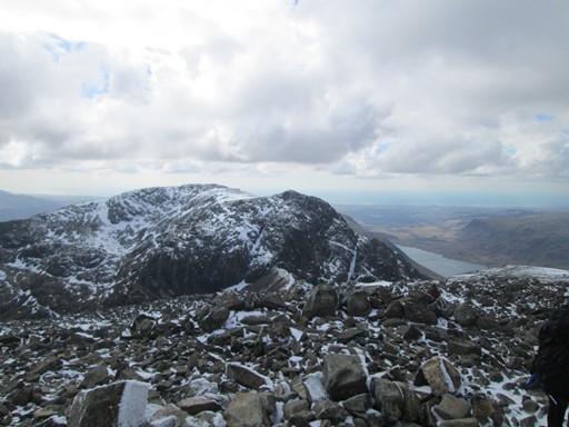
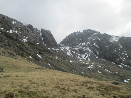
This is the view of the Scafell Pike massif from Sty Head, taken on the cloudy next day, after some high-altitude snow had fallen during the night.
Scafell Pike is the "gentle hump" in middle of the skyline.
Thus it was that I went up Scafell Pike, also in the knowledge that the bank holiday crowds would, weather permitting, make their pilgrimage on subsequent days.
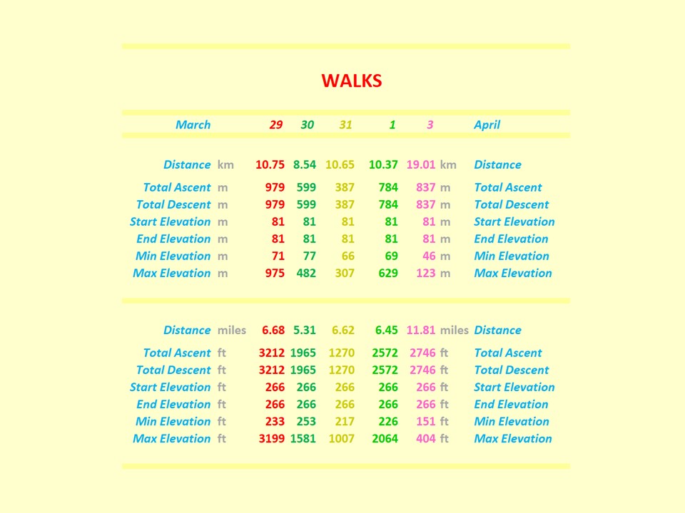
The heights for March 29 - and for walks on other days - on the "Walk Features" slide are to be interpreted carefully. Because of the measurement processes associated with my Garmin®, the maximum height of Scafell Pike above sea level is given as 975 metres which is very slightly below the "977 (or 978)" metres on OS® Maps. Also, the total ascent (collective "ups") and the total descent (collective "downs"), and the relationship of these parameters to the maximum height reached, should, indeed, be understood correctly. Another point is that walks in mountainous areas are generally shorter than those in the flat lands, because, in mountainous areas, the emphasis is more on the height gained and less on the total distance walked.
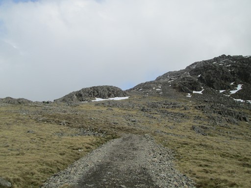
Ascent
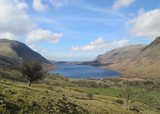
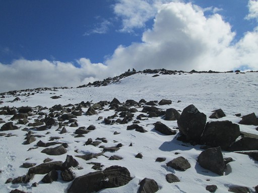
It was quite sunny on the way up. although clouds started to gather closer to the peak. The ascent was dominated by good views across Wast Water and towards the "right hand ascent via Mickledore". The advice at base and from other walkers was to take the left-hand ascent via Hollow Stones. The right-hand ascent via Mickledore was deemed to be too icy. Indeed, there were reports of those who had gone some way down the descent from the peak via Mickledore and who then had to turn back to the peak because of the prevailing icy conditions.
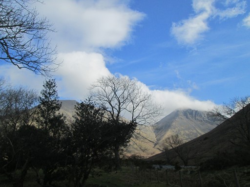
Blue skies accompanied me on the way up.
There were also ...
... nice views which ...
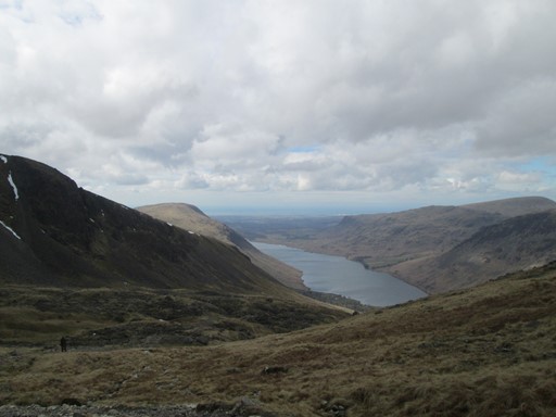
... became cloudier as the day progressed.
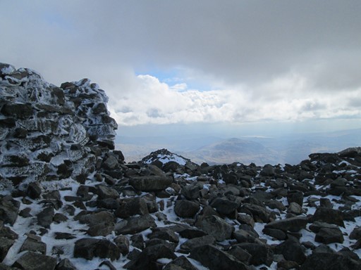
Summit
On the summit there were - as expected - good views all round, as far as Scotland, although the Isle of Man was lost in the mist. It was snowy, with the snow covering a layer of ice. This surprised the unprepared! The rudimentary shelter carried a weathered plaque "to King and Country".
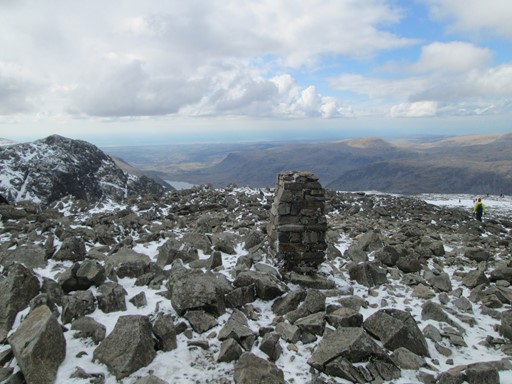
This looks like a remnant of a trig point of the thirties.
Nowadays these retired trig points mark a mountain's summit - or a point close to.
They also provide a bit of a foreground for photographers.
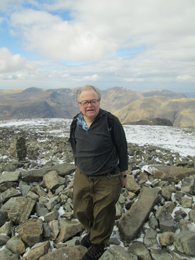
Some sociable soul took this picture of me. Of course, I never seem to make good pictures, this apparently pained expression adding credence to my statement!
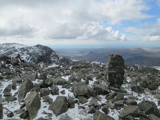
Summits are never really perfectly flat, as this shot, looking down towards Wast Water, shows.
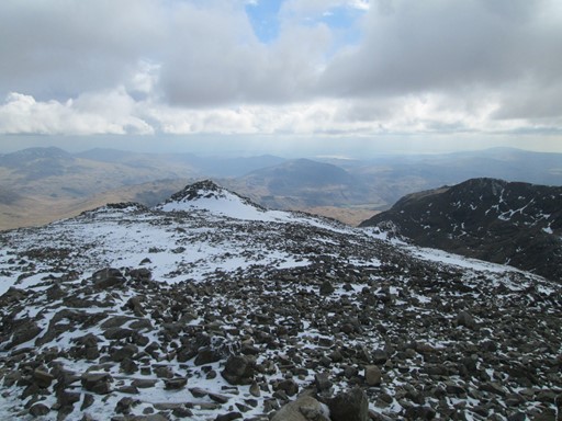
There is some sun out there.
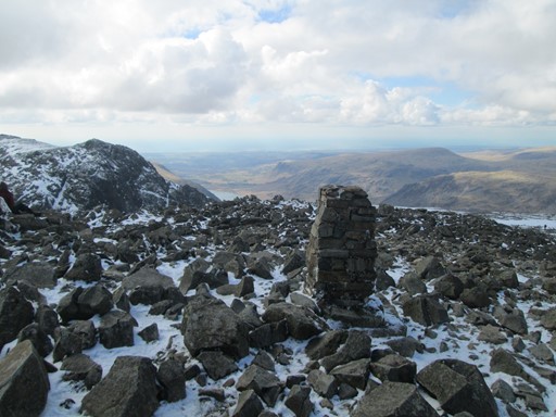
Here's the "trig point" again.
Here's the shelter. It's cloudy.
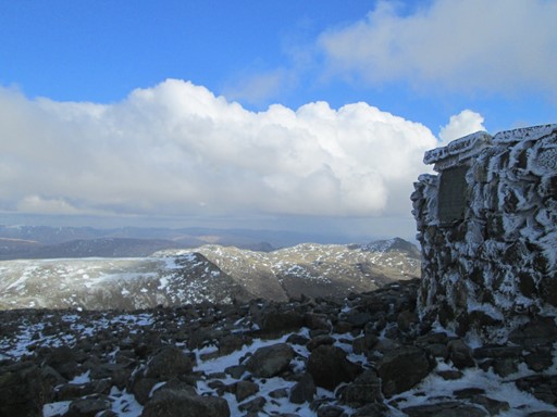
On the other side of the shelter it's sunny. What do you know?!
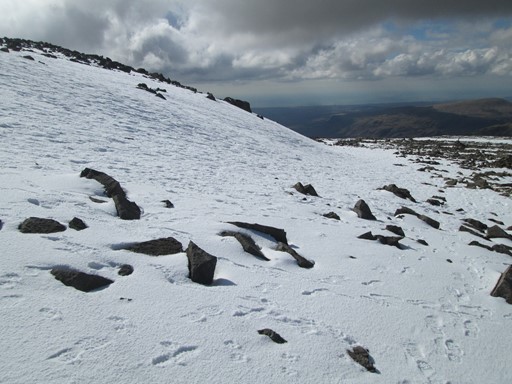
On the way down, it's back to the snow fields - layers of snow carefully hiding the ice.
Some more snow ...
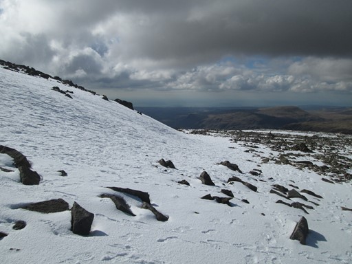
... and yet more snow. Enough to make many make a decent on their back-sides!
Descent
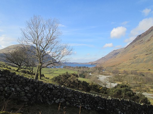
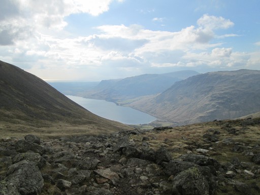
Finally, the luxury of having slate and stones under one's feet is regained. The descent is characterized by views of the icy Mickledore route, the west-facing views across Wast Water and the stony re-crossing of the Lingmell Gill. (What's the difference between a Gill and a Beck? Answers, as usual, on a postcard please.)
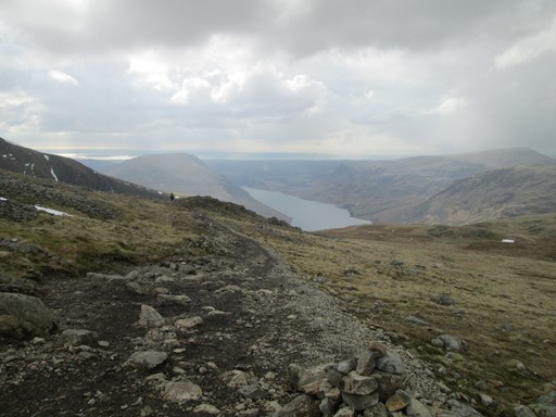
Wast Water and the cloudy sky.
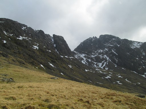
The icy Mickledore Route.
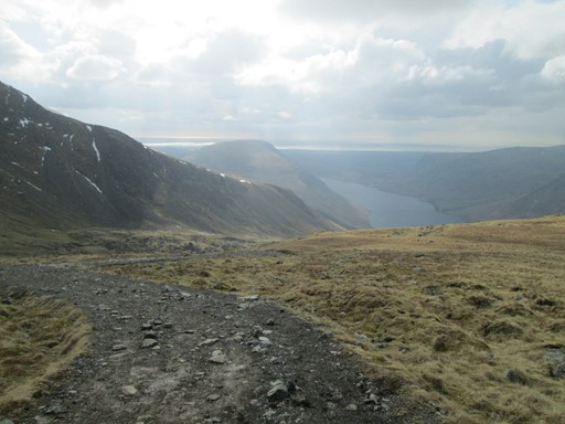
Looking westwards again, across Wast Water.
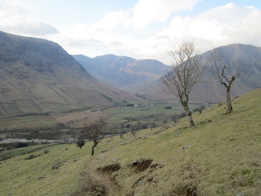
Looking back to the clearly defined start of the descent path.
Another view towards the icy Mickledore route to the "Pike".
Wast Water again.
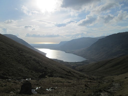
Wast Water reflecting the evening sun.
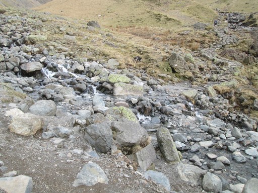
The stones making up the crossing of the Lingmell Gill ...
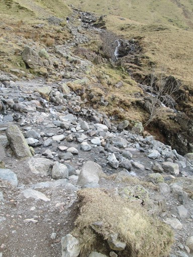
... require careful attention, so as to avoid wet feet.
Rounding the spur, Wasdale Head and the Wasdale Head Inn come into view.
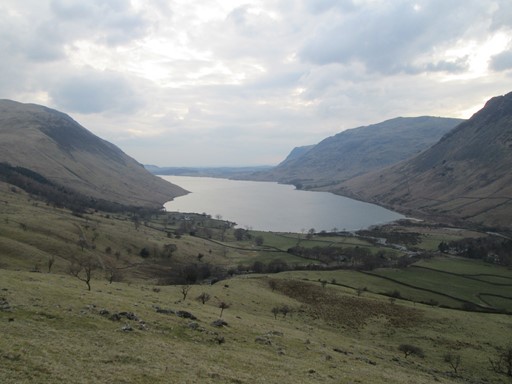
A last look at Wast Water, now bathed in the light of the dying day.
An evening meal awaits at the Inn.
Our Evening
This was the first evening where most of our party had arrived. Our get-together was duly held in Ritson's Bar. It was the occasion to natter about everything in general and our plans for tomorrow in particular. For Jane's son, Ted, it was the first CLOG event. Ted and Tony were probably the fittest in our party. However, most of us were just rearing to hit those stony mountain tracks come tomorrow.
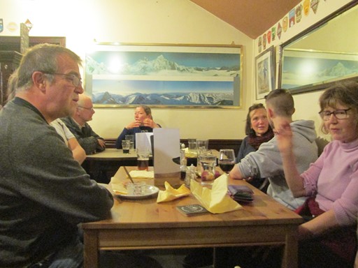
Here we are.
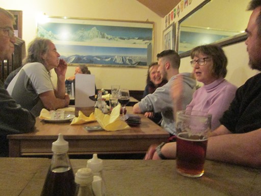
And here we are again, this from further back to try and get more of us into the picture.
What would the morrow bring?
Original: 2018-04-17 @12:36
Updated: 2018-04-18 @08:30
SAGAX REX HANC RETIS ORBIS PAGINAM PINXIT ANNO MMXVIII
© Eric Scharf 2018